Open terrain intelligence

See the land before you build on it.

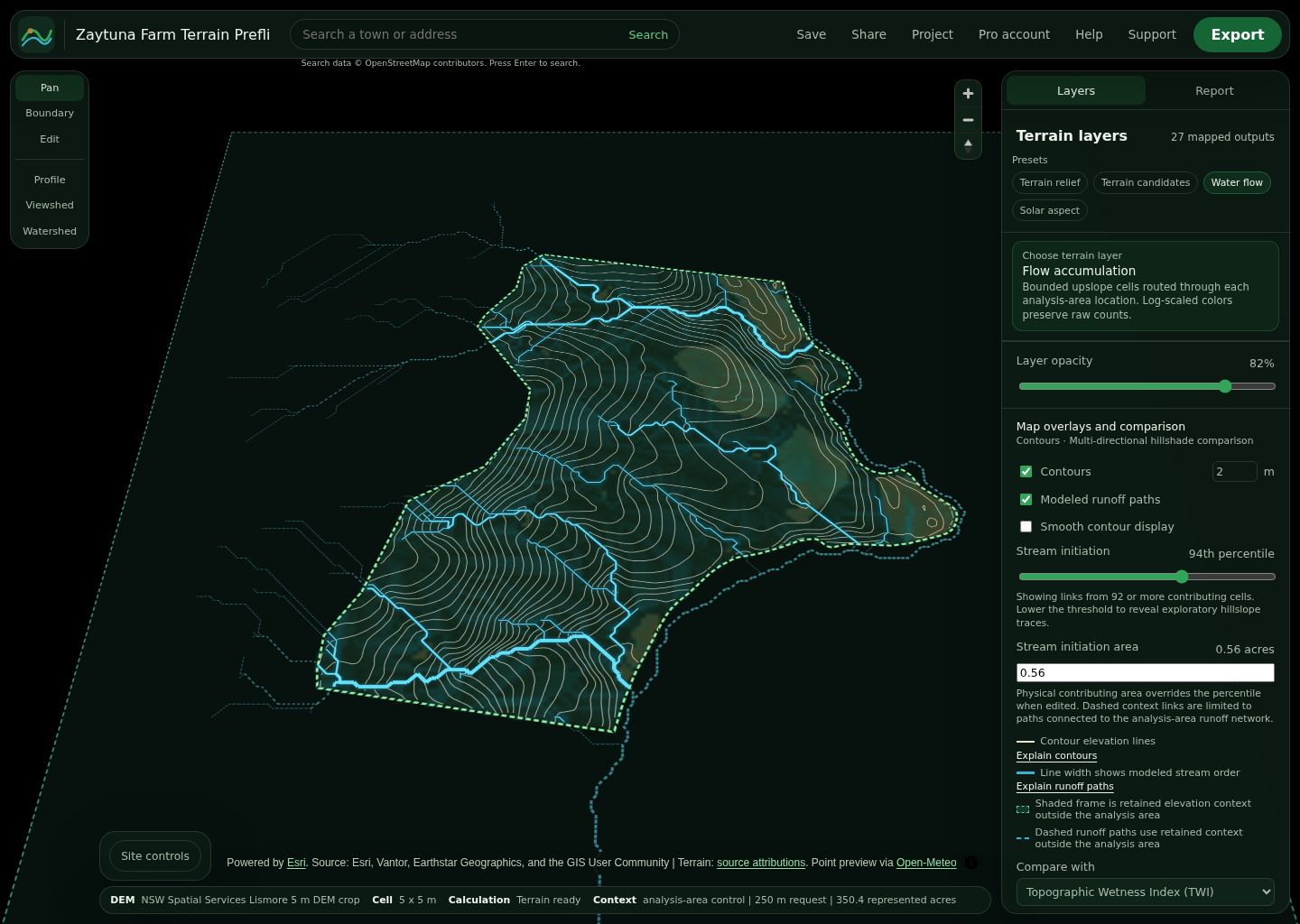
Draw any property boundary. TopoDesigner computes professional terrain layers, water flow, design constraints and shareable exports in your browser using free public elevation data.

No account required No paid map keys Cloudflare deployable
ElevationHillshadeSlopeAspectContoursFlow accumulationWetnessSolar exposure + more

From boundary to decision

Site intelligence without a GIS learning curve.

01

Twenty terrain lenses

Elevation, slope, wetness, flow paths, landforms, solar exposure and buildability from open DEMs.

02

Design on the contour

Sketch pads, roads, ponds and swales directly on the analysis with snapping and live profiles.

03

Deliver professional files

Export KMZ, KML, GeoJSON, PNG and CSV for Google Earth, QGIS or a client report.

Free and inspectable

Terrain analysis that remains yours.

TopoDesigner uses MapLibre with OpenFreeMap base maps and public Terrarium elevation tiles, cached through your Cloudflare R2 bucket. Upload a GeoTIFF for local high-resolution work. Heavy analysis stays in the browser; saved projects use your D1 database.

Grounded design

Observe first. Intervene with care.

TopoDesigner treats Mollison's ethics and Holmgren's principles as working constraints: observe and interact, catch and store energy, integrate rather than segregate, and value the edges before drawing a plan.

Explore the full design compass

Earth Care

Read water, slope, soil and exposure before proposing disturbance.

People Care

Make site evidence legible enough to review with clients, neighbors and collaborators.

Fair Share

Keep the core terrain commons useful while professional plans sustain careful development.

Fair Share pricing

A free commons with a clear professional path.

Analyze real sites without an account. Upgrade to Pro for unlimited scenarios, AI guidance, seasonal planning, team review and professional deliverables.